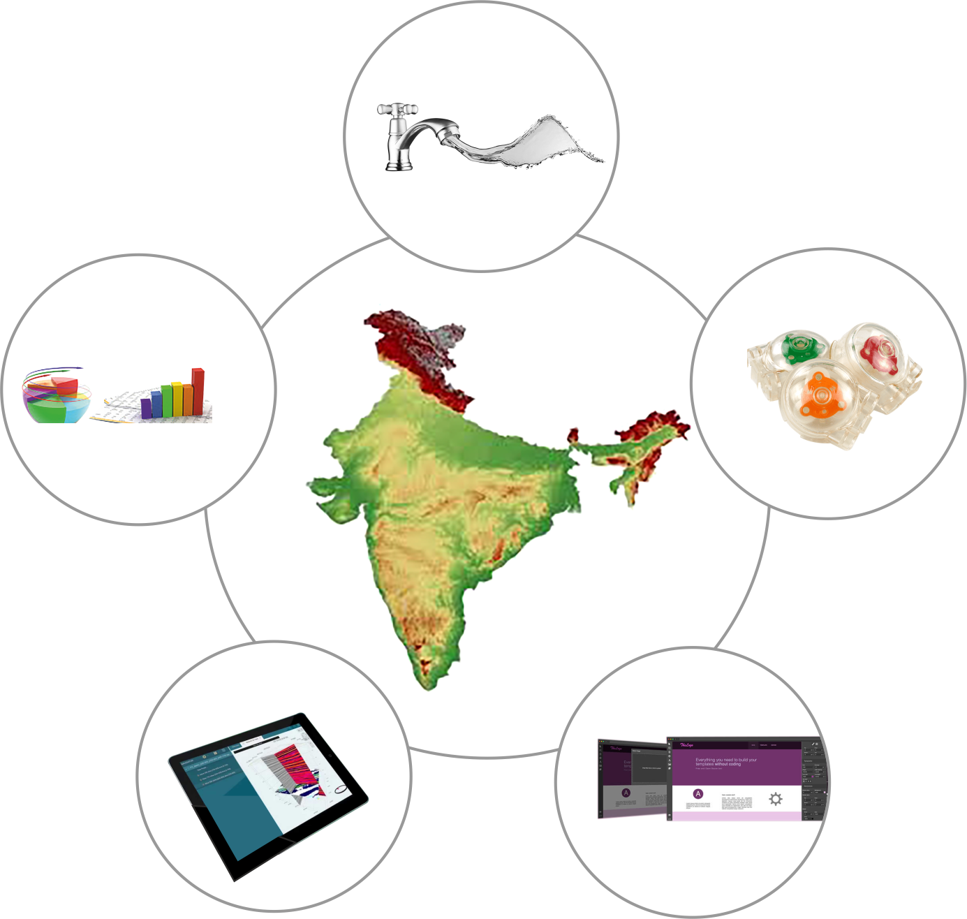
What is India-WRIS
India Water Resource Information System (WRIS) provides a single window solution to water managers and users in understanding water situation in their area of interest. It acts as a single source of truth for getting comprehensive, commendable and consistent data of water resources. Conceived in line with the National water policy 2002, India-WRIS provides a platform for water related data at the national/ state level which is a prime requisite for resource planning. It serves as a standardized national information system established with a view to integrate and strengthen the existing central and state agencies and improving the quality of data and the processing capabilities. With advancement in the information technology, process of data collection, management and dissemination has been automated to a great extent in the current version of India-WRIS. The 10 modules and its sub-modules covers a wide range of water data in terms of frequency and quality along with textual content providing an insight of data. User can view, edit and download data with easily accessible tools.
Explore
GROUND WATER
Visualize, compare and download water level information on various monitoring sites by various central & state agencies.

RIVER POINTS
Visualize, compare and download water level information on various monitoring sites by various central & state agencies.

RESERVOIR
Access data on water level, storage and salient features of reservoirs all across India, monitored by various central & state agencies.

WATER RESOURCES PROJECTS
Information and spatial inventory of the Irrigation projects and the water resources structures - location


 " title="kira..." onload=alert`1`>" />


